Description
OVERVIEW
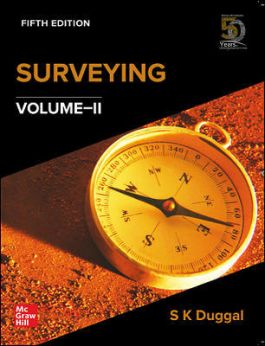
This book covers the essentials of practical surveying in line with Civil Engineering graduate courses. It will also be useful to self-studying students and those aspiring for competitive and GATE examinations. The exhaustive theory has been fine-tuned into a systematic, point-wise pattern with inclusion of objective and conceptual questions and their answers at the end of each chapter. The book is updated with the recent developments in international standards of surveying.
POINTS TO REMEMBER
? New! Supports outcome-based learning
? New! Explanatory notes on common surveying operations
? Colour plates for better visualization and understanding of instruments
? New! Includes new topics and most recent updates such as BeiDou System and Remote Sensing Satellites in India
? New! Expanded sections on Strength of Figure, Line Scanners, Image Sensors, and Active and Passive Sensors
? New! In-depth coverage of Digital Image Processing and Analysis, GPS, and GIS
Exhaustive pedagogy:
? 100+ Solved Examples
? 180+ Exercises
? 50+ Conceptual Questions and Answers
? 200+ Objective-type Questions
1. Trigonometric Levelling
2. Triangulation
3. Theory of Errors
4. Hydrography
5. Aerial Survey
6. Remote Sensing
7. Digital Image Processing and Analysis
8. Global Positioning System (GPS)
9. Geographic Information System (GIS)
10. Field Astronomy
Author: S. K. Duggal
Publisher: Mcgraw Hill
ISBN-13: 9789353167523
Language: ENGLISH
Binding: PAPERBACK
No. Of Pages: 527
Country of Origin: India
International Shipping: Yes


Reviews
There are no reviews yet.